
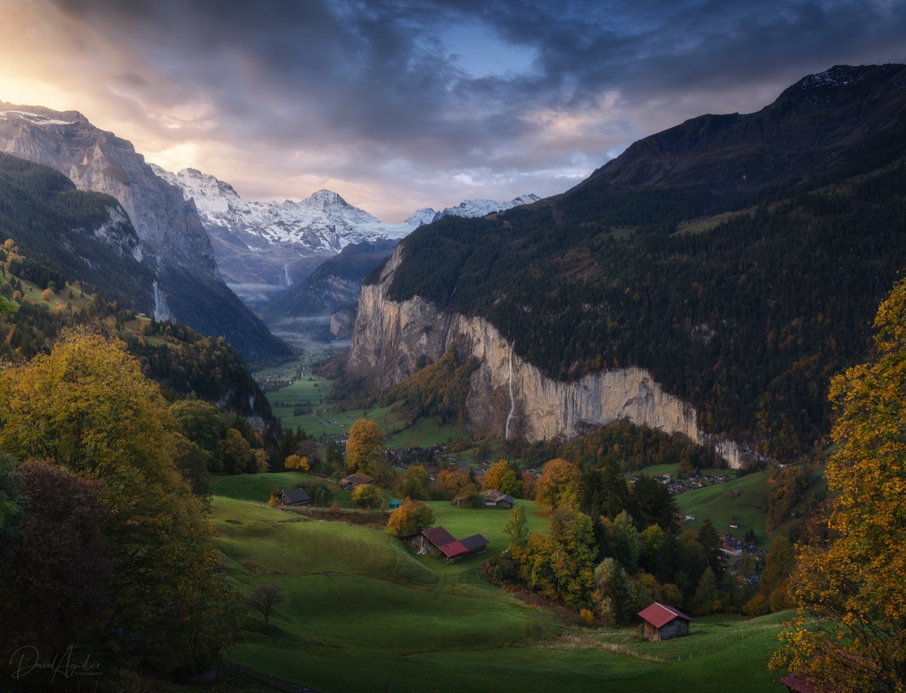
Photography Locations Map
Swiss & French Alps
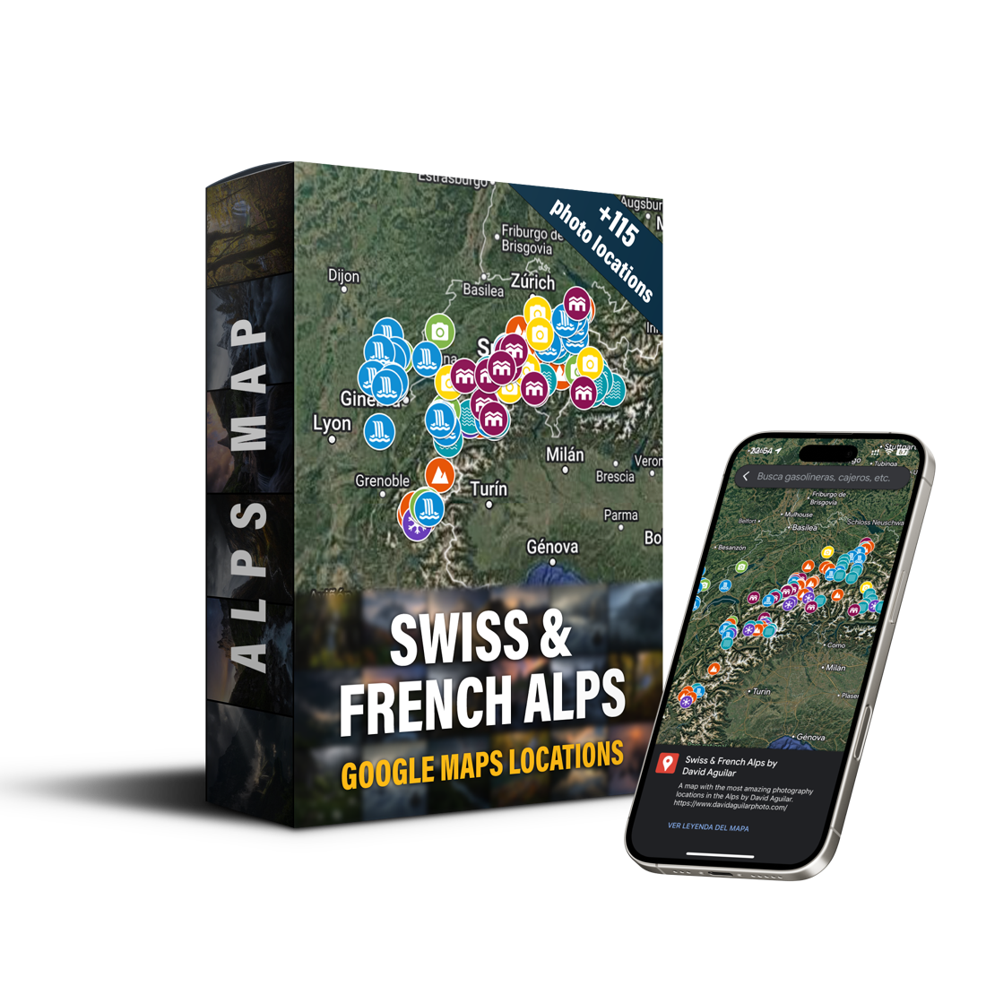
19,95 €
VAT included
My complete guide to photographing the Swiss and French Alps. Glacier views, alpine lakes, gorges and villages, with everything you need to arrive in the right place, at the right moment.
Delivered as a PDF (629 KB)
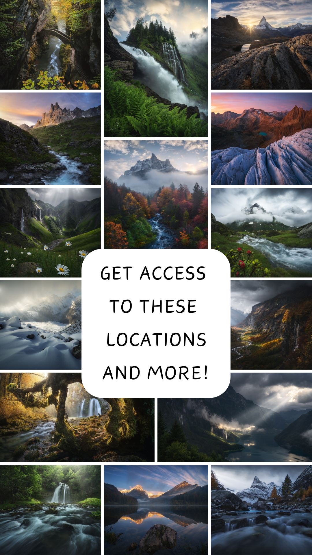
What’s inside
- 115+ locationsMountain views, glaciers, lakes, valleys and gorges, waterfalls and villages, organised by category.
- Detailed directionsAccess instructions, GPS coordinates, hiking information and safety tips for every spot.
- Best timingWhen to visit each location for the best conditions.
- Photography tipsHow to frame and shoot each scene.
- Any deviceOpen and save it in Google Maps on your phone, tablet or computer.
- Lifetime updatesNew locations and details are added over time.
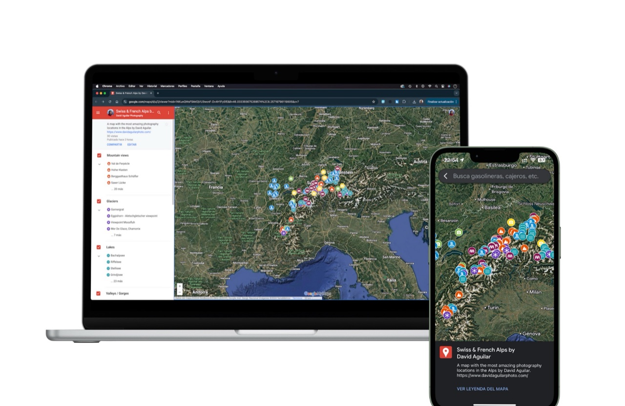
On every device
Plan on your computer, then follow the map on your phone in the mountains. It’s saved in your own Google Maps, wherever you go.
How it works
- 01After purchase you’ll receive a PDF with the link to your map.
- 02Open the link on a computer the first time, because it won’t open on a phone.
- 03Sign in with the Google account you used to buy it. Access is private and linked to that account; the first time, activation can take from a few minutes to a few hours.
- 04From then on the map is saved in your Google Maps, on every device.
Made for
- Landscape photographersAlpine scenes, pinned with precision.
- TravellersThe best viewpoints and hidden gems, away from the crowds.
- AdventurersPlan your next trip around unforgettable places.
I hope it helps you understand the Alps, find inspiration and bring home unforgettable memories.